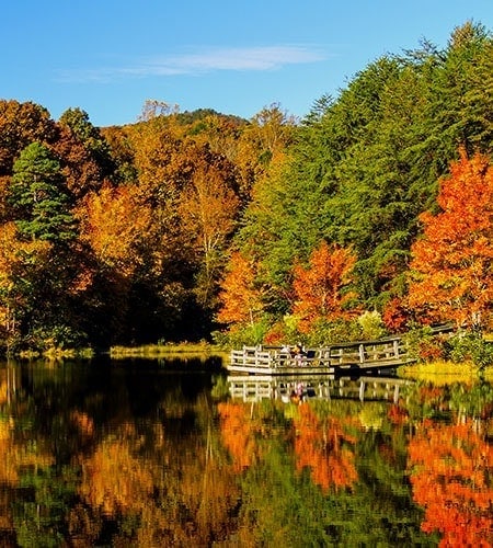
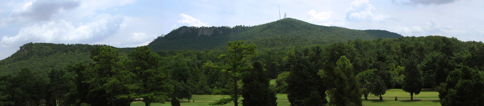
Crowders Mountain
Crowders Mountain
Crowders Mountain
Crowders Mountain
Crowders Mountain

Facts & History Of

Crowders Mountain State Park

Crowders Mountain State Park is a 5,300 acre (20.74 km²) North Carolina state park in Gaston County, North Carolina. It is near Kings Mountain, North Carolina and on the outskirts of Gastonia, North Carolina, and it includes the peaks of Crowder’s Mountain and The Pinnacle. Crowders Mountain was named for Crowders Creek which originated near its base. Contrary to some historical information, Crowders Mountain was not named for Ulrich Crowder. (There is no historical evidence that he was ever in this area.) The cliffs are a popular destination for rock climbers.

The mountain itself is a monadnock, an isolated erosional remnant that rises abruptly from the surrounding plain. Geologically neither Crowders Mountain nor The Pinnacle are true mountains. Crowders Mountain sharply rises some 800 feet (240 m) above the surrounding countryside, and presents sheer rock cliffs that are 100 – 150 feet (46 m) in height. The mountain rises to 1,625 feet (495 m) above sea level. The peak is believed to be the remnant of a much higher mountain which formed some 400 – 500 million years ago and was gradually worn down by the elements. The park sets at the northeast end of the Kings Mountain Range, a 16-mile (26 km) long range of low peaks which include the site of the Battle of Kings Mountain of the American Revolution.

The Park Contains Two Peaks:

peaks

Crowders Mountain

This peak is 1,625 feet high and is located in the northeastern section of the park.
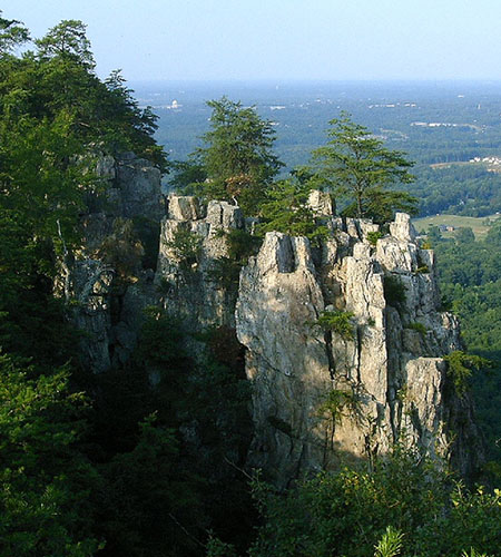
peaks

The Pinnacle

This peak is 1,705 feet high and is located in the western section of the park.

History Of The Park

mine-cart

In the early 1970s a mining company conducted exploratory sampling on the mountain as preparation to purchase the mineral rights. Thanks to grassroots efforts by local citizens, educational institutions, and organizations the state government was convinced that the area should be set aside and protected due to significant natural communities, plants and animals, intrinsic beauty, and unique recreational opportunities. In 1973 the State of North Carolina officially designated the area as Crowders Mountain State Park and it opened to the public in 1974. The Pinnacle was added to the park in 1987. Another 2,000 acres (8.1 km2) was added in the year 2000 and officially connected the park with Kings Mountain State Park and Kings Mountain National Military Park, both in South Carolina.

Park Maps and Brochures:

Click PDF icons to view, print, or download.

Favorite Park Trails

Several hiking trails lead to the summit of Crowders Mountain, and from the summit it is possible on a clear day to see the skyscrapers of Charlotte, North Carolina to the east.

 
trails

Rocktop Trail

Admittedly the most difficult and technical trail in the park. It travels along the ridge of Crowders Mountain so each side has steep drop offs and unseen cliffs. It can be accessed from Crowders Trail from the Visitor's Center, Backside Trail or Tower Trail.

Strenuous \\ 1.5 miles

trails

Pinnacle Trail

This strenuous 1.7 mile (one-way) trail begins at the Visitor Center and ends at the summit of King’s Pinnacle, the highest point in Gaston County at 1,705 feet.

Strenuous \\ 2 miles

trails

Crowders Trail

This trail winds along the base of Crowders Mountain from the Visitor Center which ultimately leads to the top of the mountain via Backside Trail or Rocktop Trail.

Strenuous \\ 2.8 miles

trails

Backside Trail

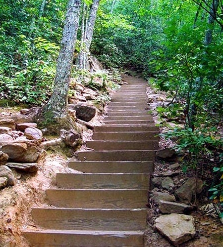
From the Linwood Access, this trail leads around the backside of the mountain to the top. Just before reaching the summit, hikers will climb up 336 wooden steps.

Strenuous \\ 0.8 miles

Additional Park Trails

Fern Trail:

This easy 0.8 miles begins at picnic shelter number 1, connects with a portion of the Turnback Trail and follows a creek for some portions of the trail.


Lake Trail:

This easy 0.8 mile loop trail goes around the park lake.


Tower Trail:

This strenuous 1.8 miles begins at the Linwood Access Area and ends at the radio towers on Crowders Mountain. The trail is an old roadbed that begins with a gentle climb that becomes quite steep towards the end.


Ridgeline Trail:

A 6.2 mile (one way) trail starting near the summit of Kings Pinnacle, following the ridgeline all the way to the South Carolina State line. The Ridgeline trail then continues for 2.5 miles into South Carolina through Kings Mountain State Park, and terminates at the 16 mile Kings Mountain National Recreation Trail that goes through Kings Mountain State Park and Kings Mountain National Military Park.


Turnback Trail:

This moderate 1.2 miles begins at the southeast corner of the visitor center parking lot and ends at the Pinnacle Trail .7 miles from the summit of King’s Pinnacle. The trail gives alternate hiking opportunities for both the Pinnacle and Fern trails.

“Hiking is a bit like life: The journey only requires you to put one foot in front of the other…again and again and again. And if you allow yourself the opportunity to be present throughout the entirety of the trek, you will witness beauty every step of the way, not just at the summit.”

- Unknown

Park
Information

hiker

For more information contact:

Crowders Mountain State Park
522 Park Office Lane
Kings Mountain, NC 28086

Phone: 704-853-5375
Fax: 704-853-5391
Email: crowders.mountain@ncparks.gov

Park Fee:
Free

fees

Date & Times Open:

NOTE: Park hour links below will take you off our site.

Day-Use Accesses Hours

Campground Hours

Visitor Center Hours

Park
Access Points

map

Visitor Center Access
522 Park Office Ln, Gastonia, NC 28052
Get Directions


Linwood Access
4611 Linwood Rd. Gastonia 28052
Get Directions


Boulder Access
108 Vandyke Road Kings Mountain, NC 28086
Get Directions

Park Activities & Recreation

Climb rugged peaks rising 800 feet above the surrounding countryside and watch raptors soar in the wind. Rocky ledges and outcrops are the perfect seats from which to view the panorama below.

backpack2
fishing
Friends of Crowders

Message from the Park Superintendent

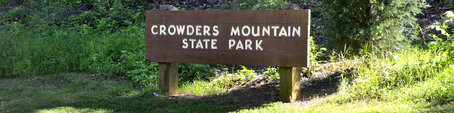
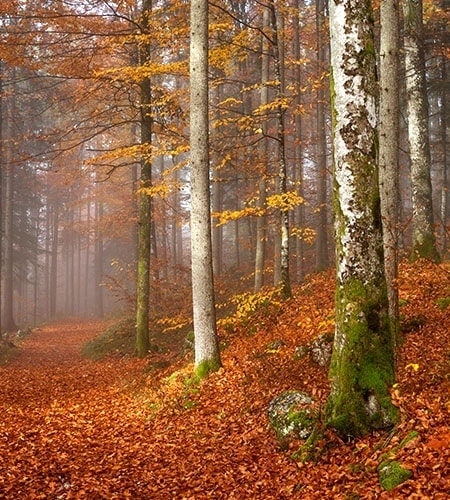
Crowders Mountain became a state park in 1973 as the result of a citizen’s movement in Gaston County. A group of local citizens formed the Gaston County Conservation Society in response to a threat to mine the mountain. These concerned citizens were able to convince their friends and neighbors of the importance of preserving this unique natural resource and, with their support, were able to convince state officials of this need. An additional 2000 acres have been added to the park which will protect the entire Kings Mountain ridgeline and join Crowders Mountain State Park to Kings Mountain State Park and Kings Mountain National Military Battleground in South Carolina. Without the support of local citizens to preserve this unique resource and open space in a rapidly developing community, this acquisition would not have occurred.

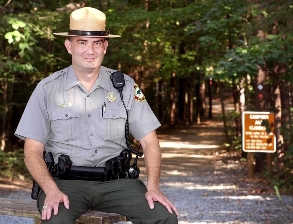
One of the rewarding aspects of working at Crowders Mountain has been the support of the citizens of the area for the park and its programs. The approval of the citizens of the area for the park and its programs is the highest reward one can receive. The Friends of Crowders Mountain, Inc. is a group of citizens who have organized to support the park through fundraising, volunteerism, and community action. Their goal is to continue the tradition of community interest in the preservation of one of the most significant and beautiful natural resources of our state.

Please consider joining the Friends of Crowders Mountain in their efforts.

~ Crowders Mountain Park Superintendent